
Note: Winter road conditions change quickly. Be prepared for icy roads, snow at high elevations and rocks/trees falling in the road. Please share road reports.
Yellow Pine: We had quite a rain storm early this morning, over half inch of water, and it stayed above freezing. Local streets are either breaking up and slushy or are slick with water on ice. The back Stibnite road is slushy. Click for Local Forecast.
Warm Lake Highway: (March 14) mail truck driver (Ray) reports a few inches of new snow going over Big Creek summit.
Big Creek Summit SNOTEL station 6580′
South Fork Road: (March 14) mail truck driver reports the lower part of the South Fork is baring up and rocks coming down.
Tea Pot Weather Station (5175′)
EFSF Road: (March 14) back-hoe went out the EFSF this morning, reports of rocks cleared from the “bowling alley” but more rocks in the Caton Creek area coming down. Lower end of the EFSF road is baring up. Upper end slushy and icy in the shade.
Lower Johnson Creek Road: No current report, probably breaking up and slushy where the sun can hit and icy in the shade.
Upper Johnson Creek Road: Closed at Landmark to wheeled vehicles for the winter.
The elevation at Landmark is 6,630 feet
Snowmobile Trail Report: (Feb 1) “Trail is great from Warm Lake to Yellow Pine.”
Per County Groomer report – “Johnson Cr Rd – Landmark to Wapiti Meadows 1/11/18”
Johnson Creek Airstrip Webcam:
http://www.ruralnetwork.net/~yellowpinecm/
Lick Creek: Closed for winter to wheeled vehicles.
Trail Report: Old report (Jan 20) that trail had been packed from Yellow Pine to Lick Creek for skiing.
Note: The elevation at Lick Creek Summit is 6,877 feet
Profile Creek Road: Closed for winter to wheeled vehicles.
Trail report: President’s Day weekend report: trail is good from YP to Big Creek.
Note: The elevation at Profile summit is 7607 feet.
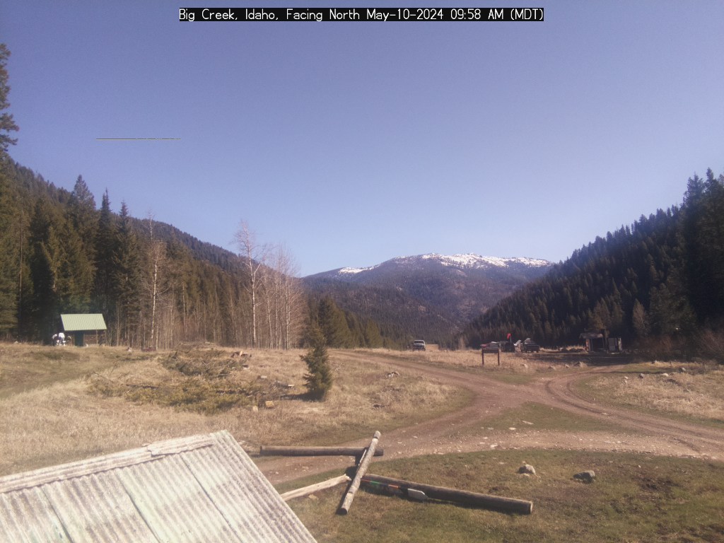
Big Creek Webcam:
Yellow Pine to Stibnite: Last report Dec 13: Open, chains advised, icy.
Stibnite to Thunder Mountain: Closed at Stibnite with snow. Truck reported to be stuck for the winter on the other side of Monumental.
Note: The elevation at Monumental Summit is 8590 feet.
Trail Report: (Feb 24) “The trail up Monumental Summit is groomed to Fern Creek. The rest is open to the summit.” and “The trail to Cinnabar is open and in perfect condition.”
Big Creek to Elk Summit to Warrens Road: Closed.
Note: The elevation at Elk Summit is nearly 9000 feet.
Deadwood Summit: No current report.
Note: The approx elevation at Deadwood Summit is 6,883 feet.
Deadwood Summit SNOTEL station 6860′
——————————-
