
Note: Report (8-29) at 1230pm: “Two trees down on south fork with tight access…” – LI
Johnson Creek Stream Gauge Aug 29, 2018

All roads to Yellow Pine are open. Please share road reports.
Yellow Pine: Sounds like the gravel trucks are working today. Local streets have not been as dusty since the rain early this week, but are starting to dry out. Please drive slow, kids, deer and dogs have the right-of-way (and it helps keep the dust down.) Click for Local Forecast.
Yellow Pine Webcam:

Johnson Creek Stream Gauge:
Idaho Smoke Info:
Quartz Creek: (July 2, 2018) “Quartz Creek has a big wash out just before a switch back towards the top. Right now only motorcycles can get by but with work some atvs can make it. A shovel and a saw may be needed to widen the trail.” – DB
link to FB photo:
Golden Gate Road: Closed. Road to Golden Gate is only passable on foot due to large deep wash-out about 2/3rds of the way up. (2017)
link to FB photo:
Warm Lake Highway: Warm Lake Highway is good.
South Fork Road: Report at 1230pm 8-29 “Two trees down on south fork with tight access…” South Fork road is good. Watch for fire traffic for the Caton Fire.
Tea Pot Weather Station 5175′
South Fork Stream Gauge:
EFSF Road: Report (Aug 29) mail truck driver (Dean) says the EFSF road in good shape, dust abatement is holding up well. (Watch for possible fire traffic for the Caton Fire.)
Johnson Creek Road: Report (Aug 29) mail truck driver (Dean) says the road between Wapiti Meadow Ranch and Yellow Pine is in excellent shape. Washboardy on the upper end.
The elevation at Landmark is 6,630 feet
Johnson Creek Airstrip Webcam:
Lick Creek: Old report (Aug 7) “I went out Lick Creek this morning. Was pretty nice. A bit bumpy starting the ascent to the cliffs and remained a bit bumpy to the summit. Was nice all the way down. A nice McCall police officer reminded me the speed limit right after Lick Creek is 25 mph (from 35 mph) and they will be enforcing it.” – AP
Note: The elevation at Lick Creek Summit is 6,877 feet
Profile Creek Road: Old report (Aug 12) “Profile is bumpy and dusty.” – BMc
Note: The elevation at Profile summit is 7607 feet.
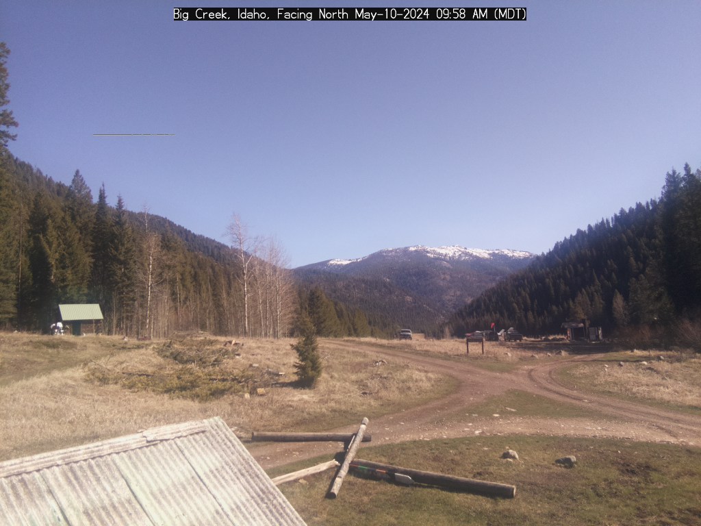
Big Creek Webcam:
Yellow Pine to Stibnite: Old report that the road is good. Watch for possible Fire Traffic monitoring the Kiwah Fire.
Stibnite to Thunder Mountain: Report (Aug 14) The Meadow Creek Road above Stibnite is now open. Watch for possible fire traffic monitoring the Kiwah Fire.
Old report (July 19) Stibnite to Roosevelt Lake: Road was in great shape (but has not been graded.)
Note: The elevation at Monumental Summit is 8590 feet.
Big Creek to Elk Summit to Warrens Road: Open to the adventurous.
Last report (July 13) folks made it over in a small pick up truck, road is rough and getting brushed in.
Note: The elevation at Elk Summit is nearly 9000 feet.
Deadwood Summit: Old report from Deadwood Outfitters (June 5) “Deadwood Summit is open and in good shape.” Report (July 3) via Stanley and Bear Valley, watch for pot holes and ruts.
Note: The approx elevation at Deadwood Summit is 6,883 feet.
——————————-
