
Note: Saturday, April 10th we had some strong gusty winds, watch for trees down.
It is Rock Migration Season. Please share road reports. Please turn on your vehicle lights when traveling our narrow mountain roads. Rock Migration season has started. Conditions change quickly this time of year. Be prepared for rocks and trees in the road, icy conditions and deep snow in higher elevation. Remember there is no cell phone service.

Yellow Pine: Local streets are mostly bare, some icy snow lingering in the shady places. Please respect residents and wildlife and SLOW DOWN.
“Drivers don’t speed through neighborhoods or most anywhere. Locals brake for kids, wandering dogs, deer, elk, moose, fox, beaver, squirrels and chipmunks. Most are lifetime members of SPLAT, the Society to Prevent Little Animal Tragedies.” – IME
link: Local Forecast
Yellow Pine Webcam: (check date on image)

Highway 55 Webcams Link:
Starting April 2, at 8 am the original spring construction schedule for the ID-55 Smiths Ferry project will resume. From April 2 through mid-May, the road will be closed Monday through Thursday from 10 am to 2 pm, and open to one lane of alternating traffic with a 15-minute delay outside of the closure hours.
Project link:
Warm Lake Highway: Open
Wed (April 7) Mail truck driver reports the highway is bare except in the usual shady corners.
link: SNOTEL Big Creek Summit 6580′
South Fork Road: Open – Watch for rocks.
March 31: Spring weight limits in effect
“Forest Service officials on the Payette and Boise National Forests implemented the annual seasonal break up limits/road weight restrictions on portions of the South Fork Salmon River Road (National Forest System Road #674 and #474) effective today, March 31, 2021. The restriction is in effect annually through June 1, or as Forest Service officers determine that no further damage will occur to the roadway and remove the signing.”
Report Wednesday (April 7) Mail truck driver said the FS plowed the rocks off the road on Monday, April 5th. The road is pretty much bare now except in the usual shaded corners and no rocks or trees in the road today.
link: Tea Pot Weather Station 5175′
link: South Fork Stream Gauge
EFSF Road: Open – Watch for rocks.
Report Wed (April 7) mail truck driver reports the the road is snow free and no rocks in the road today.
Johnson Creek Road: Upper end closed to wheeled vehicles at Landmark.
No current report. The road is more than likely in good shape out to the dump.
March 31: There were several trees down on lower Johnson Creek between YP and Wapiti Meadow Ranch, cleared by the local plow crew.
link: Johnson Creek Airstrip Webcam
link: Johnson Creek Stream Gauge
Note: The elevation at Landmark is 6,630 feet
Lick Creek: Closed to wheeled vehicles.
Note: The elevation at Lick Creek Summit is 6,877 feet
Profile Creek Road: Closed to wheeled vehicles.
Trail report and video April 10th from C&L: “Yesterday we came into BC with a smooth trail and had sunshine all the way. We were so lucky that [people] had gone in a couple of days before us & cleared a HUGH number of large down trees, and we only widened one down tree going in. Our trip from YP to BC was a short one (2 1/2 hr). It will be a big job for anyone to take a full sized vehicle up the Profile Creek Road once the snow is gone because of the downed trees – most were cut wide enough for an ATV, and some big ones were not cut at all. … [A] little video of the trail from Profile Gap to Belvadere Creek -see following link:”
Note: The elevation at Profile summit is 7607 feet.

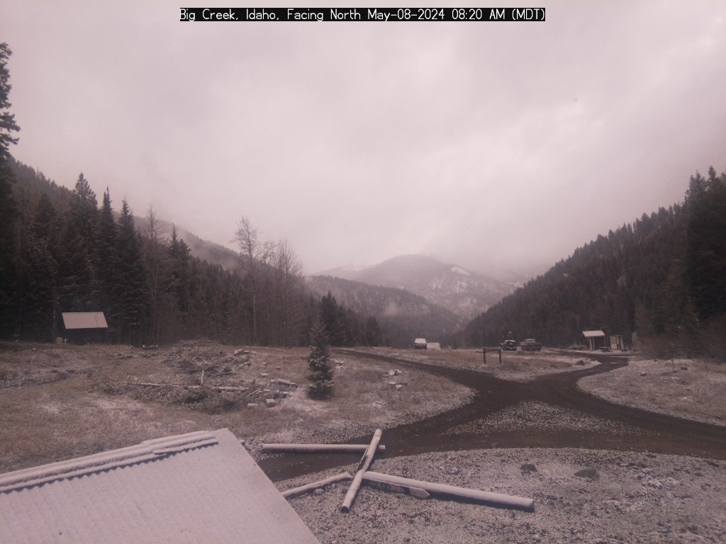
Big Creek Webcam: (check date on image)
Yellow Pine to Stibnite: Closed near MM7 (Tamarack Creek area) by Avalanche Feb 22nd.
Report that the slide may be cleared by the end of the week.

The crew has a snowmobile trail over the slide to get to the site. They have asked that the public avoid the area as it is narrow and may be unstable.
link: Stibnite Weather Station 6594′
Stibnite to Thunder Mountain: Closed to wheeled vehicles.
Note: The elevation at Monumental Summit is 8590 feet.

Big Creek to Elk Summit to Warrens Road: Closed to wheeled vehicles.
Note: The elevation at Elk Summit is nearly 9000 feet.
Deadwood Summit: Closed to wheeled vehicles.
Note: The approx. elevation at Deadwood Summit is 6,883 feet.
link: SNOTEL Deadwood Summit 6860′
New Link
Valley County Road Maintenance Dashboard
——————
