
Please share road reports. Most back country roads have not been graded this season and are rough. Conditions can change quickly, be prepared for rocks and trees in the road. This time of year there could be snow in higher elevations. Remember there is no cell phone service. Please turn on your vehicle lights when traveling our narrow mountain roads, you are not the only vehicle on the one lane road.

Yellow Pine: Local streets are damp. Please respect residents and wildlife and SLOW DOWN.
Drivers, please don’t speed through neighborhoods. Locals brake for kids, dogs, horses, deer, elk and squirrels.
link: Local Forecast
Yellow Pine Webcam (check date on image)

Highway 55
Smith’s Ferry Project: Starting Wednesday, Sept. 8, drivers can expect full road closures Monday-Thursday from 10 a.m. to 2 p.m. After 2 p.m., the road will be open to one-way alternating traffic. Please note: the delays may be significant immediately after the road reopens due to large traffic volumes. Once this traffic clears, drivers can expect 15-minute delays. We encourage drivers to plan ahead and use U.S. 95 as an alternate route.
Project link:
Warm Lake Highway: Open
Wednesday (Oct 27) mail truck driver reports just a little snow on Big Creek Summit this morning, not much on the road. Probaby melted by now, but watch for ice in the shady corners.
link: SNOTEL Big Creek Summit 6580′
South Fork Road: Open
Report Wednesday (Oct 27) road is in good shape. No rocks or trees down. Many hunters camped along the South Fork and a noticeable number of vehicles.
link: Tea Pot Weather Station 5175′
link: South Fork Stream Gauge
EFSF Road: Open
Report Wednesday (Oct 27) – Rocks in the road, pot holes by the bridges.
Report Thursady (Oct 28) – the recent batch of rocks have been cleared.
Johnson Creek Road: Open
Report Wednesday (Oct 27) About 6″ of snow on Warm Lake Summit and upper Johnson Creek. Road is rough, wash boards deeper. (May have melted by now?)
link: Johnson Creek Airstrip Webcam
link: Johnson Creek Stream Gauge
Note: The elevation at Landmark is 6,630 feet
Lick Creek: Open
Report Wednesday (Oct 27) About 6 inches of wet snow on top but the road is still good. – JB
Note: The elevation at Lick Creek Summit is 6,877 feet
Profile Creek Road: Open – Likely snow up high
No current report.
Last report Thursday (Aug 19) “Profile has seriously rocky sections that are washing out worse than usual. Some are sharp. Carry a saw whether its windy or not — roots of beetle kill trees are now quite rotten and fall easily.” – CP
Note: The elevation at Profile summit is 7607 feet.

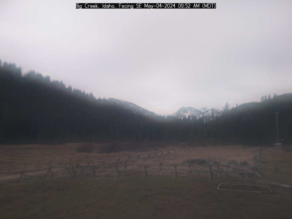
Big Creek Webcam (check date on image)
Quartz Creek
No current report.
Yellow Pine to Stibnite: Open
No current report.
link: Stibnite Weather Station 6594′
Stibnite to Thunder Mountain: Open? Travel at your own risk – likely snow up high.
No current report.
Note: The elevation at Monumental Summit is 8590 feet.

Big Creek to Elk Summit to Warrens Road: Open? Travel at your own risk – likely snow up high.
No current report.
Note: The elevation at Elk Summit is nearly 9000 feet.
Deadwood Summit: Open? Travel at your own risk – likely snow up high.
The SNOTEL station showed 12″ snow on October 31.
No current report.
Note: The approx. elevation at Deadwood Summit is 6,883 feet.
link: SNOTEL Deadwood Summit 6860′
Warren Wagon Road: Open, travel at your own risk.
No current report.
New Link
Valley County Road Maintenance Dashboard
——————
