
Please share road reports. Most back country roads have not been graded this season and are rough. Conditions can change quickly, be prepared for rocks and trees in the road. Remember there is no cell phone service. Please turn on your vehicle lights when traveling our narrow mountain roads.

Yellow Pine: Local streets are VERY dusty. No dust abatement applied on main street this summer. Please respect residents and wildlife and SLOW DOWN.
Drivers, please don’t speed through neighborhoods. Locals brake for kids, dogs, horses, deer, elk and squirrels.
link: Local Forecast
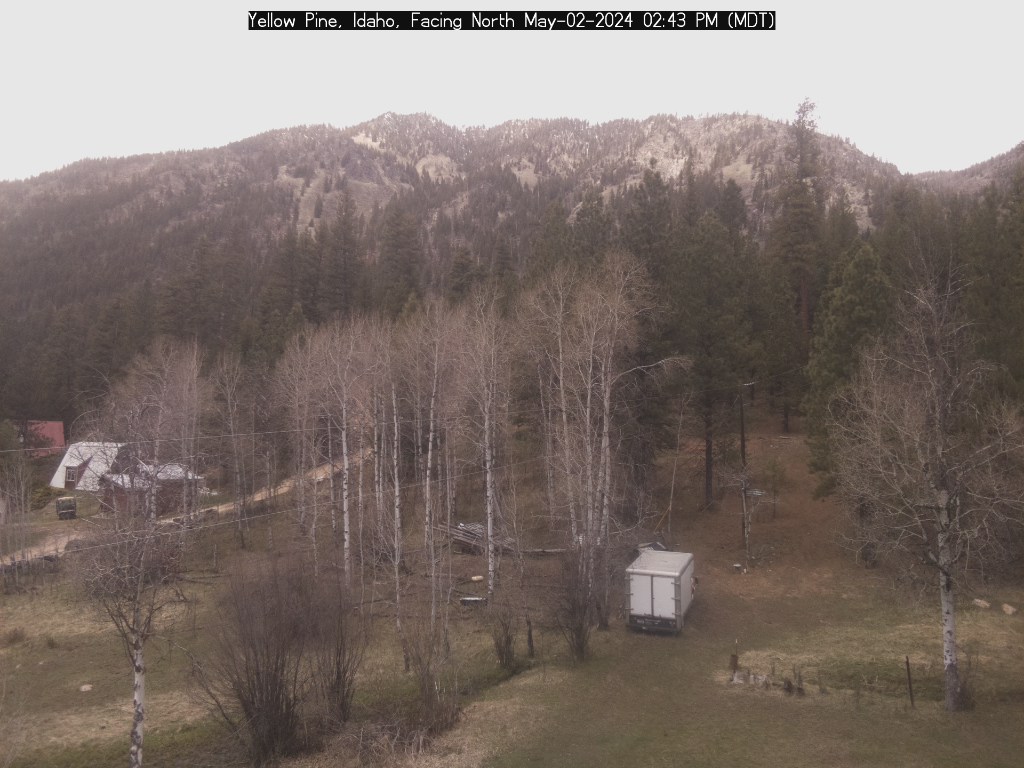
Yellow Pine Webcam (check date on image)
Highway 55
Smith’s Ferry Project: Starting Wednesday, Sept. 8, drivers can expect full road closures Monday-Thursday from 10 a.m. to 2 p.m. After 2 p.m., the road will be open to one-way alternating traffic. Please note: the delays may be significant immediately after the road reopens due to large traffic volumes. Once this traffic clears, drivers can expect 15-minute delays. We encourage drivers to plan ahead and use U.S. 95 as an alternate route.
Project link:
Donnelly to Deinhard Project: Construction on Highway 55 between Donnelly and McCall. This is a much-needed project to repair potholes and cracks in the roadway and will include placing a new layer of pavement on the highway for smoother driving conditions.
What to expect:
* Idaho 55 will be reduced to one lane with pilot cars midweek (Monday – Thursday)
* All lanes will be open on weekends (Friday – Sunday)
* Roadway surface will be uneven for several weeks
* Speed limit will be reduced and 12-foot restrictions will be in place
* Construction is expected to be complete in September.
Warm Lake Highway: Open
link: SNOTEL Big Creek Summit 6580′
South Fork Road: Open
Report Monday (Sept 13) road is in good shape.
link: Tea Pot Weather Station 5175′
link: South Fork Stream Gauge
EFSF Road: Open
Report Monday (Sept 13) the road has been graded and dust abatement applied.
Johnson Creek Road: Open
Report Wednesday (Sept 15) mail truck driver reports the county has nearly completed the grading, road is in pretty good shape.
link: Johnson Creek Airstrip Webcam
link: Johnson Creek Stream Gauge
Note: The elevation at Landmark is 6,630 feet
Lick Creek: Opened June 7
No current report.
Last report Wednesday (Aug 18) “Zena bridge is finished and looks great! Road is very rough. I would not recommend taking a car or camp trailer over.” – JB
Watch for ATV and UTV traffic.
Note: The elevation at Lick Creek Summit is 6,877 feet
Profile Creek Road: Opened June 13
No current report.
Last report Thursday (Aug 19) “Profile has seriously rocky sections that are washing out worse than usual. Some are sharp. Carry a saw whether its windy or not — roots of beetle kill trees are now quite rotten and fall easily.” – CP
Note: The elevation at Profile summit is 7607 feet.

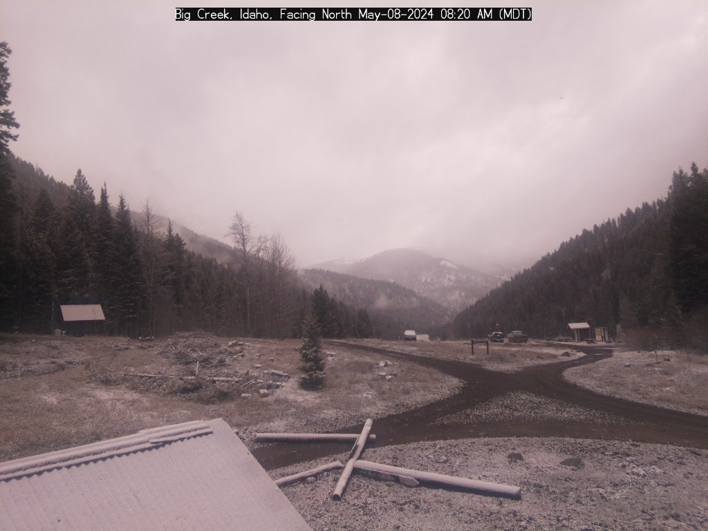
Big Creek Webcam (check date on image)
Quartz Creek
No current report.
Last report Thursday (Aug 19) “Cleared Quartz Creek of trees last weekend.” – SA
Yellow Pine to Stibnite: Open
No current report.
link: Stibnite Weather Station 6594′
Stibnite to Thunder Mountain: Open, travel at your own risk.
No current report.
Note: The elevation at Monumental Summit is 8590 feet.

Big Creek to Elk Summit to Warrens Road: Open. Travel at your own risk.
No current report.
Note: The elevation at Elk Summit is nearly 9000 feet.
Deadwood Summit: Opened June 9
No current report.
Note: The approx. elevation at Deadwood Summit is 6,883 feet.
link: SNOTEL Deadwood Summit 6860′
Warren Wagon Road: Opened by May 27
No current report.
New Link
Valley County Road Maintenance Dashboard
——————
